Spokane Wildfires: Thousands Flee as Blaze Threatens Homes
Spokane, Washington, is currently facing a critical emergency as rapidly spreading wildfires force thousands of residents to abandon their homes. The situation remains fluid, with local authorities issuing urgent evacuation orders as containment efforts struggle against dry vegetation, high temperatures, and shifting wind patterns. Emergency services are mobilized across the region, focusing on perimeter control and the immediate safety of displaced citizens.
Key Highlights
- Mass Evacuations: Thousands of residents across Spokane County have been ordered to evacuate, with ‘Level 3 – Go Now’ mandates issued for the most threatened zones.
- Fire Containment Challenges: Firefighting crews are battling shifting winds and tinder-dry fuel loads, which have complicated efforts to establish effective containment lines.
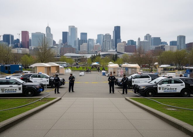
- Emergency Shelters: Local agencies and the Red Cross have established multiple emergency shelters, including the Spokane County Fair and Expo Center, to accommodate those displaced by the blaze.
- Public Safety Mandates: The Washington Department of Natural Resources (DNR) has collaborated with local law enforcement to enforce road closures and facilitate rapid egress routes.
The Anatomy of the Spokane Fire Crisis
The current situation in Spokane is a culmination of high-risk environmental factors typical of the Inland Northwest during peak wildfire season. The Spokane region, characterized by its mix of urban development and dry, grassy wildland—known as the Wildland-Urban Interface (WUI)—is particularly susceptible to rapid fire progression. When high-velocity winds align with low humidity and elevated temperatures, fires that start small can become uncontrollable within minutes.
Meteorological Volatility and Terrain Dynamics
The meteorology currently gripping the Inland Northwest is acting as a force multiplier for the ongoing fires. Meteorologists at the National Weather Service (NWS) office in Spokane have highlighted that current wind gusts, often reaching speeds of 30-40 mph, are driving embers ahead of the main fire front. This phenomenon, known as ‘spotting,’ is creating new ignition points miles ahead of the primary blaze.
Furthermore, the terrain around Spokane features rolling hills and deep ravines, which trap heat and create chimney effects. As air is forced through these topographical features, fire intensity increases significantly, often overwhelming ground crews who are restricted by the rough geography. The vegetation in the area, specifically the invasive grasses that cured early in the summer, provides a continuous fuel bed that allows fire to spread at rates previously unseen in recent fire history.
The Operational Response: DNR and Local Task Forces
The Washington Department of Natural Resources (DNR), in tandem with local fire districts, has mobilized a massive coordinated response. This operation involves a complex hierarchy of command, utilizing both ground crews and aerial support, including retardant-dropping aircraft. However, the use of aerial assets is strictly weather-dependent; current high winds have periodically grounded these vital resources, forcing ground crews to shoulder the brunt of the containment work.
Command centers are utilizing advanced GIS (Geographic Information System) mapping to identify at-risk structures and prioritize evacuation routes. The ‘Level’ system—Level 1 (Get Ready), Level 2 (Get Set), and Level 3 (Go Now)—is being communicated via the Wireless Emergency Alert (WEA) system. Residents are urged to monitor official channels, as the speed of fire growth can change evacuation boundaries in real-time.
Urban-Wildland Interface (WUI) Challenges
One of the most significant complexities of the Spokane wildfires is the sheer density of residential development within the WUI. Unlike remote forest fires, these blazes are moving through residential neighborhoods, garages, and near critical infrastructure like power lines and substations. This necessitates a ‘structure protection’ strategy alongside traditional firefighting.
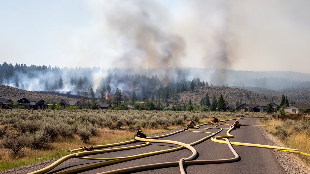
Firefighters are forced to balance the preservation of homes with the containment of the fire front. This often involves creating firebreaks in backyards and using specialized hose lays to protect cluster housing. The psychological toll on the community is immense, as residents are forced to flee with only the belongings they can grab, creating significant traffic congestion on primary arterials as the evacuation orders hit simultaneously.
Long-Term Recovery and Future Mitigation
Looking beyond the immediate threat, the economic and structural recovery of Spokane will be a long-term undertaking. Insurance claims, temporary housing solutions, and the restoration of electrical grids will dominate the local agenda for the coming months. Furthermore, there is a growing discussion among city planners and environmental experts about the need for more aggressive fire-smart landscaping and vegetation management in residential codes.
Historically, the Inland Northwest has managed fire as a seasonal event, but the increasing frequency and severity of these incidents suggest a new normal. Experts suggest that the region may need to invest more heavily in ‘defensible space’ initiatives—the practice of removing flammable materials within a 30-to-100-foot radius of homes—to mitigate future risks. As Spokane processes the current crisis, the dialogue regarding climate resilience and infrastructure hardening is expected to take center stage in local government meetings.
FAQ: People Also Ask
Q: How do I know if my specific neighborhood is under an evacuation order?
A: Residents should monitor the official Spokane County Emergency Management website and their local county sheriff’s office social media feeds. They also provide real-time interactive maps updated by incident commanders.
Q: What should I pack if I am placed under a ‘Level 2’ warning?
A: You should have a ‘go-bag’ ready, including essential documents (insurance, ID, medical records), medications, a three-day supply of water and non-perishable food, phone chargers, and sentimental items that cannot be replaced. Do not wait for a ‘Level 3’ order to begin loading your vehicle.
Q: Are there resources available for displaced families or those needing emergency housing?
A: Yes. The American Red Cross typically manages the primary shelters in Spokane, such as the Spokane County Fair and Expo Center. Visit their website or call 2-1-1 to receive information on the nearest open shelter and available resources for those affected by the fires.
Q: How can I help or volunteer for those affected?
A: While the desire to help is strong, emergency officials strongly advise against self-deploying to the area. The best way to assist is to donate funds to organizations like the American Red Cross or local community foundations coordinating relief efforts, as they can allocate resources precisely where they are needed most.


Related Posts